Signals
Sourced, dated facts for every neighbourhood in Great Britain.
Crime, deprivation, sale prices, schools, amenities, transport and flood risk for 43,064 neighbourhoods, through one API. Every value carries its source, the period it describes, a confidence level and its rank in the nation, and every place has a permanent ID your records can key on.
See it run
One record in. Every fact back, with its receipt. Source, period and confidence on each value.
A postcode goes in. The neighbourhood comes back with its permanent ID and every signal, each one sourced, dated and rated.
Every value, ready to build on.
One shape across three nations, a rank in the nation, a confidence level and a source with two dates. The same four properties on every value we return.
One shape, three nations
England, Wales and Scotland come back in one response shape, each nation's deprivation in its own official index. Integrate once and read every category the same way.
Ranked in the nation
Every stored value says where it sits among the nation's neighbourhoods and among its region's, so a number means something on its own.
Confidence on every value
Each value says how solid it is, from how complete and how recent the data behind it is, so thin data never reads as a hard fact.
A source and two dates
Every value names the dataset it came from, the period it describes and when its publisher released it, so you can cite it and know how old it is.
One API · seven categories · three nations
The identity underneath the facts.
A permanent ID for every place
Every neighbourhood, and the group, district, region and nation above it, has an ID that survives census boundary changes and postcode retirements. Resolve any postcode, live or retired, or any official code to its place once, 1,000 records per call or 20,000 as a job, and key your records on it.
Three grains, one call
Read a neighbourhood, or the group or district that contains it, with grain=group or grain=district. Aggregates carry crime so far, with the rate recomputed over the places counted and no estimated ranks.
Sourced, dated, confidence-rated and keyed on a permanent place ID. The facts a product team needs about every neighbourhood, without owning the pipeline.
Get a sandbox key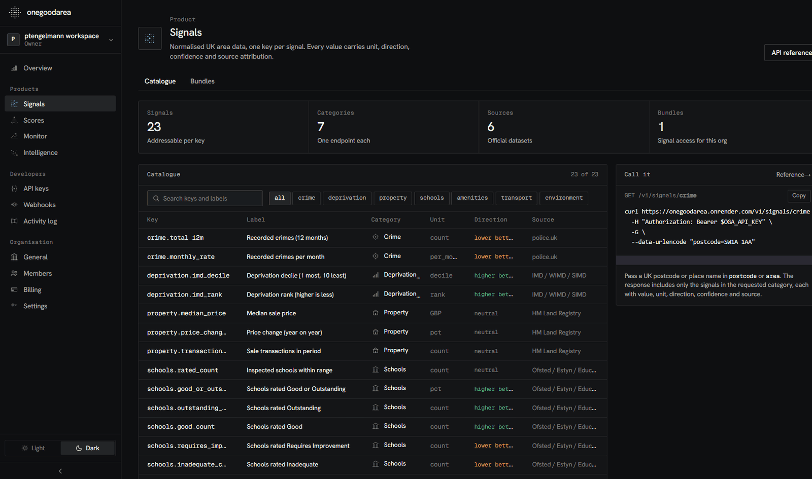
The Signals workspace in the console
Where it goes in your product.
The same facts behind a listing page, a dataset you sell, a search filter or a customer's portfolio.
One integration, kept current by us, underneath features you already ship.
Every listing
Show the neighbourhood's facts beside each listing or valuation, each with its source and date, in your own design.
A location dataset
Enrich every row of a dataset you sell or analyse with the same sourced values, keyed on the place ID so the join holds when boundaries move.
A customer's portfolio
Resolve a customer's addresses to places once, then read the places' facts whenever the customer opens them.
Search and filters
Rank and filter neighbourhoods by a signal's value or its national rank, and page through the result.
Frequently asked
Signals, answered.
Which areas do you cover?
Every neighbourhood in England, Wales and Scotland, 43,064 of them, on the 2021 census geography for England and Wales and the 2022 Data Zones for Scotland. Send a postcode, live or retired, an official code or a place ID and you get the neighbourhood back. Northern Ireland is not covered yet.
Where does the data come from?
police.uk, the Office for National Statistics, HM Land Registry, MHCLG's IMD 2025, the Welsh Government's WIMD 2019, the Scottish Government's SIMD 2020 and council-area crime, Ofsted, the Environment Agency, SEPA, Natural Resources Wales, NaPTAN and OpenStreetMap. Every value names the dataset it came from.
How often is the data updated?
Each publisher on its own clock. Crime is checked daily and loaded when police.uk publishes. Land Registry sales load monthly and ONS prices each quarterly release. Deprivation loads with each new edition. Schools, transport and amenities load monthly. Flood maps load monthly in England and quarterly in Scotland and Wales. Every value carries the period it describes and the date its publisher released it.
What does the confidence level mean?
How complete and how recent the data behind the value is. Thin data, such as a price median on a handful of sales or a schools figure with few graded schools, is marked down rather than hidden.
Do the numbers change?
They move when the data or the method does, and both are visible. Every response carries the methodology version that produced it, every release is published in the changelog with what it changed, and the change feed says whether an area moved or our method did.
What is a place ID?
A permanent identifier, oga_pl_ and thirteen characters, for every neighbourhood and the places above it. It stays the same when a postcode is retired or a census boundary moves, so your records can key on it. Resolve any input to its place with /v1/places/resolve, 1,000 at a time, or 20,000 as a job.
How do I access it?
A REST API with a published OpenAPI specification, bulk mapping for a whole catalogue, and an MCP server so the AI features in your product can call the same layer.
Put sourced neighbourhood facts underneath your product.
One API, three nations, a permanent ID for every place, and a source and date on every value. Start in the free sandbox.